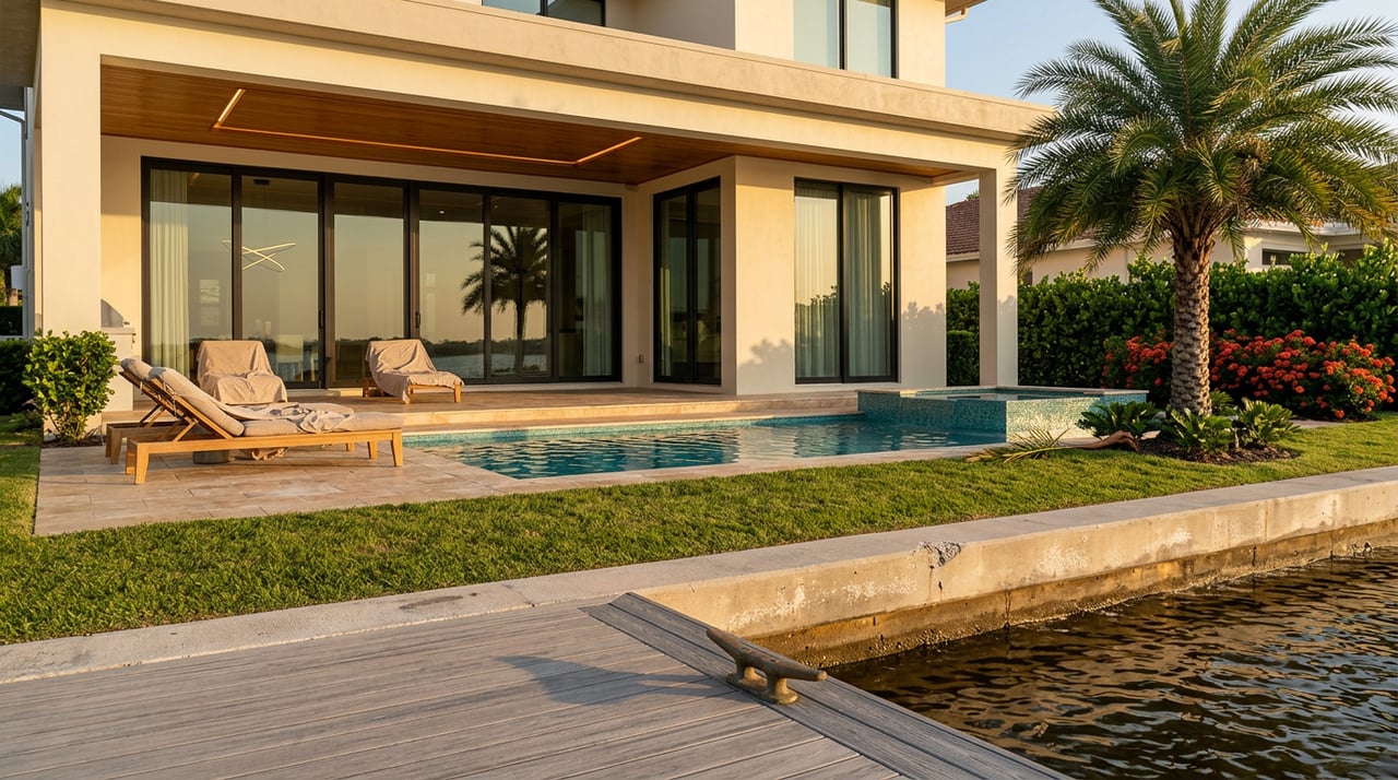
If you live on one of Tropic Isle's finger canals, you already know the sound. It is not thunder. It is water lapping over a seawall cap and finding its way onto Cypress Drive or Iris Drive at exactly the hour the tide chart said it would. The neighborhood's autumn king tide season is underway again, and the city project meant to address the flooding it causes has been sitting in the design phase since before most residents started noticing a pattern.
That is the piece of this story that does not show up on the property listings or the boater's-paradise write-ups. Tropic Isle is genuinely one of the best deep-water canal communities in Palm Beach County, with no fixed bridges standing between a backyard dock and the open Atlantic. But the same geography that makes it a boater's neighborhood also makes it a flooding neighborhood, and the city's own engineering studies have said so in writing for years.
Why the Water Comes Up the Street, Not Just the Seawall
The City of Delray Beach's public works page for the Tropic Isle Roadway and Underground Utility Improvements project lays out the underlying problem plainly: the neighborhood's streets sit on muck and loosely consolidated soils that have caused pavement to deteriorate over time, and the area's proximity to the Intracoastal Waterway makes it susceptible to high tides, king tides, and projected sea level rise. A citywide street evaluation study went further, recommending that the city avoid disturbing the existing muck layer and maintain current roadway elevations wherever possible, which is an engineer's way of saying there is no simple fix here.
The city's 2019 update to its Stormwater Master Plan modeled what would actually help. It found that raising certain streets by a few inches would meaningfully lower flood depths during high water events. So the current project calls for exactly that: some Tropic Isle streets will be reconstructed at a higher elevation, others resurfaced at their existing grade, and backflow preventers will be installed on the drainage outfall pipes that currently let canal water push back onto the roadway during high tides. Water mains will be upsized where they are too small, aging sanitary sewer lines will be relined or replaced, and driveways disturbed by the work will be reconnected to match, as closely as materials allow, what was there before.
This is not a resurfacing job. It is an attempt to re-engineer how the neighborhood interacts with its own canals, which is a bigger undertaking than most residents realize when they see "roadway improvements" on a city agenda.
The Six-Year Gap Between "Planned" and "Built"
Here is the part that deserves more attention than it has gotten. This project is not new news. It first appears in Delray Beach's Capital Improvement Program for fiscal years 2020 through 2024, listed as "Tropic Isles Roadway Evaluation, Design & Construction." The city held a public information meeting on the project on December 7, 2023, an open-house format where residents could review maps and ask questions of the design team. As of this writing, the project's own city page still describes it as currently in the design phase.
Put the dates next to each other and the pattern is hard to miss.
| Milestone | When | Status |
|---|---|---|
| Project first listed in city's Capital Improvement Program | FY 2020–2024 | Evaluation and design phase begins |
| Stormwater Master Plan update recommends raising roadway elevations | 2019 | Informs project scope |
| Public Information Meeting held | December 7, 2023 | Design input gathered from residents |
| Current project status per city page | As of research | Still listed as "in the design phase" |
Six years is a long time for a project to remain in design, especially one built around a soil condition and a flood model that do not change while the paperwork does. None of this means the city has abandoned the work. Muck-soil construction is genuinely harder to plan around than a standard repaving job, and getting the stormwater modeling right before pouring concrete is the kind of caution residents should want from their engineers. But if you are the homeowner watching water creep across your driveway every October, the honest answer to "when will this be fixed" is still "no announced construction date."
What This Fall Actually Looks Like
The 2026 king tide season is not a future event. The South Florida Water Management District's official tidal outlook has the season running from late August through mid-November, spanning the full and new moon phases of September, October, and November, the periods when the moon's gravitational pull stacks tides higher than normal. Palm Beach County's Division of Built Environment Risk Reduction has flagged two specific stretches this year as carrying the greatest potential for flooding: October 26–29 and November 24–27. Those are the windows worth watching if you park a car near a canal-facing driveway or if your street has flooded in past years.
None of this is unique to Tropic Isle. Coastal neighborhoods up and down this stretch of the county, from Briny Breezes to Boca Raton, deal with the same seasonal pattern. What makes Tropic Isle's situation worth understanding on its own terms is that the neighborhood's specific fix is already designed, already funded into the capital program, and still not built. That is a different situation than a neighborhood waiting for a study to even begin.
A Neighborhood Built From the Water Up
It helps to understand why the canals are shaped the way they are in the first place. Tropic Isle's developer began dredging its network of canals around 1954, cutting into what had been scrub and lowland on the west side of the Intracoastal, then using the excavated sand and soil to raise the ground behind newly poured seawalls. The first lots went on the market in the mid-1950s. When Delray Beach and Boca Raton later annexed the broader Tropic Isle tract from Palm Beach County, the area split into the sections residents recognize today. The southernmost portions on the Delray side became known as Tropic Harbor and Pelican Harbor, while the stretch that fell into Boca Raton took on the names Walkers Cay and Bay Colony.
That history matters here because the canals that make the neighborhood a boater's dream, with a short run to either the Boca Raton Inlet or the Boynton Beach Inlet and no fixed bridges in between, are the same canals the city is now trying to engineer against. The Linton Boulevard bascule bridge that marks the neighborhood's northern edge has been opening on the hour and half-hour since 1981. The C-15 Canal along the southern boundary is the same waterway the original developer bridged to connect the two halves of the tract seventy years ago. None of that changes. What has changed is how much water shows up at the top of it each fall.
Where to Get Real Answers
Tropic Isle has no mandatory homeowners association, which means there is no single body with the authority to fast-track a city capital project. What it does have is the Tropic Isle Civic Association, a voluntary group that has represented residents since shortly after the original developer-run HOA was dissolved in the years following 1969. Membership runs fifty dollars per household per year, and the association has historically been the channel through which residents get organized input into projects exactly like this one. If you want a more current status than what a city web page shows, TICA is the group most likely to have it.
For residents deciding how seriously to take this season's forecast, the county's Division of Built Environment Risk Reduction and the South Florida Water Management District's weekly tidal outlooks are the most reliable sources, updated as conditions change rather than fixed to a static prediction made months in advance.
Living in a neighborhood like Tropic Isle means understanding both halves of the story: the water access that makes it exceptional and the water management that keeps it livable. Right now, one of those halves is still being drawn up on paper.
If you are weighing what any of this means for your home's value, or you are simply curious how flood mitigation timelines like this one tend to affect canal-front property in this part of Delray Beach, the team at Branham Properties has been through these conversations with Tropic Isle owners before. Reach out anytime you want a straight answer about what is actually happening on your street, not just what the city page says.